-40%
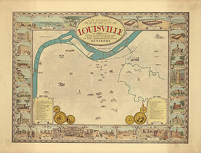
1934 Historical Pictorial Map Louisville Kentucky 11"x14" Wall Print Genealogy
$ 6.6
- Description
- Size Guide
Description
1934 Historical Map of the City of LouisvilleDetailed Specifications
This is a reproduction of the original map
Print Size: 11"x14"
This Print Comes in other Sizes too:
16"x21" and 23"x30"
You can find them and more
Maps of Kentucky
in
Our Store
We have more
Pictorial Maps
in
Our Store
All Our Posters and Maps Are Made in the USA
Pictorial map of the City of Louisville showing the city plan in the background
and highlights the important sites, landmarks, parks and rivers.
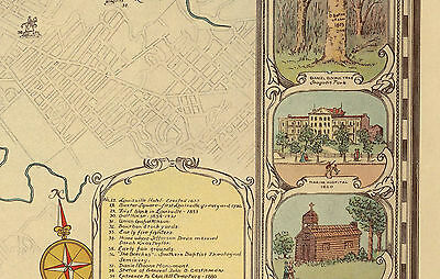
Borders with vignettes of Louisville scenes, structures and historical events.
Includes explanations, Louisville seals, compass rose, and portraits of General
George Rogers Clark and Louis XVI at the lower edge of the map.
This map comes with a white border around the image
---------------------------
-How are the prints shipped?
They are rolled and placed into a rigid tube.
-Is this available in a larger/smaller size.
Yes. For smaller or larger sizes, email us.
